Title
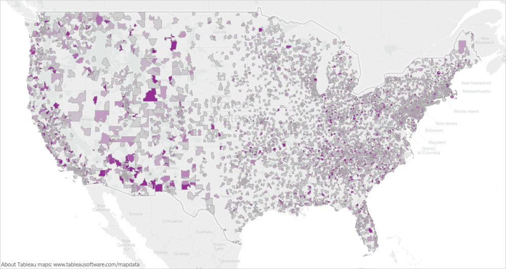
A color-coded map of the United States of America with different shades of purple representing different areas of the country. The majority of the map is white while the rest of the states are colored in shades of gray.
The map is overlaid on a white background with the majority of purple areas being the most prominent. The purple areas are scattered across the map with some areas being darker and others being lighter. The darker areas are more densely populated while some areas are lighter and more sparsely populated. There are also some areas that are more populated such as cities towns and other geographical features. Overall the map appears to be a visual representation of the population density of each state in the US.
Category
Source 1 of 8
-
Date
2012
Collection
-
Date
2015
Collection
-
Date
2012
Collection
-
Date
2015
Collection
-
Date
2012
Collection
-
Date
2015
Collection
-
Date
2015
Collection
-
Date
2012
Collection
We encourage you to view the image in the context of its source document(s) and cite the source(s) when using these images. However, to cite just this image alone, click the “Cite This Image” button and then paste the copied text.

