


Title
Description
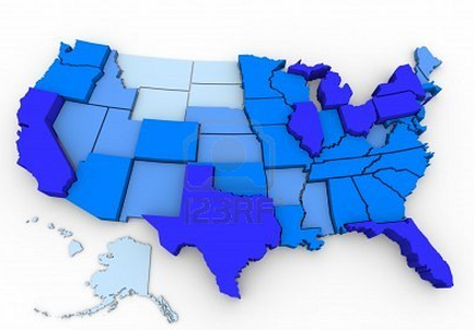
This is a map of the United States which is color-coded in various shades of blue. It also has three-dimensional elements - the "darker" blue a state is the "taller" it stands on the map. This appears to represent the number of electoral votes each state possesses in the United States Electoral College (a group of presidential electors that is formed every four years for the sole purpose of voting for the President of the United States and the Vice President of the United States in United States presidential elections).
Type 
Category
Source 1 of 2
-
Date
2012
Collection
-
Date
2012
Collection
We encourage you to view the image in the context of its source document(s) and cite the source(s) when using these images. However, to cite just this image alone, click the “Cite This Image” button and then paste the copied text.