


Title
Description
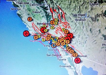
This is a untitled map of southern California and Baja California stretching from Fremont California (at the northwest corner) south to Ensenada Mexico and east to Las Vegas Nevada. Over 30 pins of various sizes and colors are placed between Bakersfield California and Mexicali Mexico. The location size color etc. of the pins are not explained but all of them have a design that resembles a vertical lightning bolt.
Type 
Category
Source 1 of 4
-
Date
2013
Collection
-
Date
2013
Collection
-
Date
2013
Collection
-
Date
2013
Collection
We encourage you to view the image in the context of its source document(s) and cite the source(s) when using these images. However, to cite just this image alone, click the “Cite This Image” button and then paste the copied text.