


Title
Description
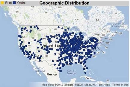
This is a map of the continental United States showing the distribution of an unknown good or service in 2 different formats (Print or Online). Online availability is marked with over 100 blue dots. Print availability would be marked by yellow dots but none are present.
Type 
Category
Source 1 of 2
-
Date
2015
Collection
-
Date
2015
Collection
We encourage you to view the image in the context of its source document(s) and cite the source(s) when using these images. However, to cite just this image alone, click the “Cite This Image” button and then paste the copied text.