


Title
Description
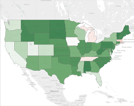
This is an untitled map of the continental United States with states color-coded in various shades of green (usually) or red (for Massachusetts Michigan and Tennessee). The significance of the colors and/or their shade is not listed.
Type 
Category
Source 1 of 8
-
Date
2015
Collection
-
Date
2016
Collection
-
Date
2016
Collection
-
Date
2016
Collection
-
Date
2016
Collection
-
Date
2015
Collection
-
Date
2016
Collection
-
Date
2016
Collection
We encourage you to view the image in the context of its source document(s) and cite the source(s) when using these images. However, to cite just this image alone, click the “Cite This Image” button and then paste the copied text.