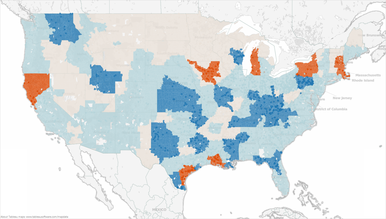
A map of the United States. Small areas possibly counties are filled in with a color on a gradient from dark red to dark blue. There is no key indicating what the colors represent. A footer indicates that the map was made in Tableau.
Category
Source 1 of 13
-
Date
2014
Collection
-
Date
2013
Collection
-
Date
2013
Collection
-
Date
2014
Collection
-
Date
2013
Collection
-
Date
2013
Collection
-
Date
2013
Collection
-
Date
2013
Collection
-
Date
2013
Collection
-
Date
2013
Collection
-
Date
2013
Collection
-
Date
2014
Collection
-
Date
2013
Collection
We encourage you to view the image in the context of its source document(s) and cite the source(s) when using these images. However, to cite just this image alone, click the “Cite This Image” button and then paste the copied text.





![A photograph of a poster presentation titled "Pain with rest and activity plays little role in patients discharged early after total knee arthroplasty (TKA)". The poster has an orange blue and white color scheme. <br /><br />The text is small and difficult to read but the headings are visible. They are: "Introduction" "Methods" "Pain Results" "Table 1. Patient Characteristics After Propensity Matching" "Figure 1. Relative Difference in [IMA?] and PAR" "Figure 2. Mean Distance Walked by Day After Surgery" "Results" "Figure 3. Correlation of [IMA?] and P[001?]" "Figure 4. Frequency of cases and controls discharge by day after surgery" "Conclusion" "Limitations" and "References". Figures 1 2 and 4 are bar graphs and Figure 3 is a scatter plot.](https://oida-resources-images.azureedge.net/public/full/8c4d7c84-34e8-4546-93c3-6d5bbad637a1.png)
