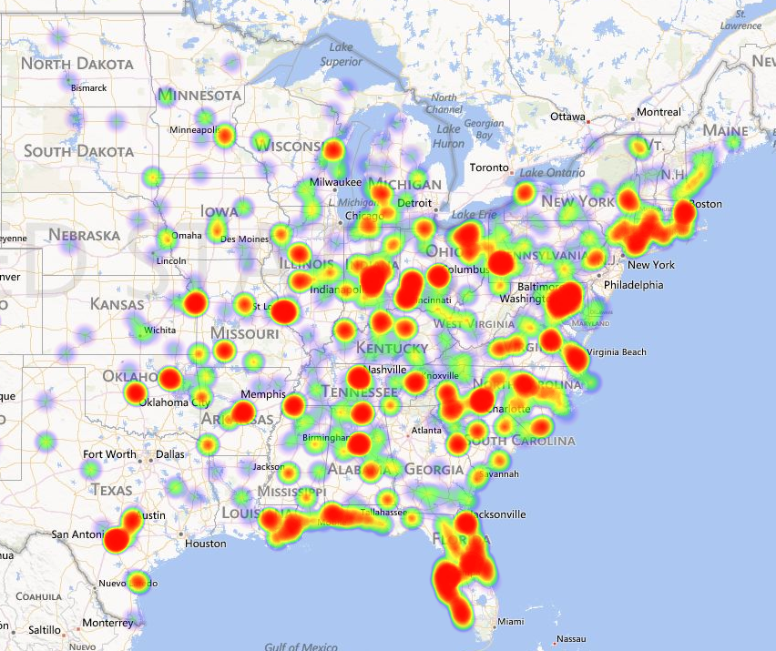
A map of the east half of North America focusing on the United States of America. It is overlaid with a heat map where major cities and metro areas are marked with red particularly the region between Boston and Washington DC and fade out to blue and green with further distance from the cities. There are also a number of green and bluish purple spots across the map. There is no key indicating what the shades mean.
Source 1 of 8
-
Date
2014
Collection
-
Date
2014
Collection
-
Date
2014
Collection
-
Date
2014
Collection
-
Date
2014
Collection
-
Date
2014
Collection
-
Date
2014
Collection
-
Date
2014
Collection
We encourage you to view the image in the context of its source document(s) and cite the source(s) when using these images. However, to cite just this image alone, click the “Cite This Image” button and then paste the copied text.

