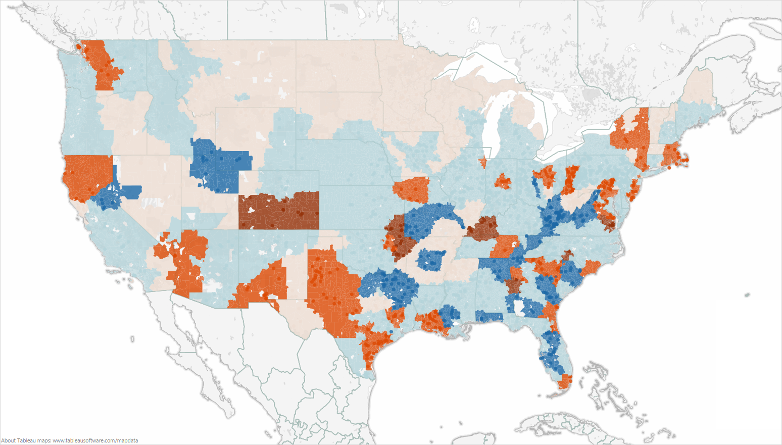
A color-coded map of the continental United States with geographic areas marked in various shades of blue or orange. The states counties and cities are not labeled but the data does appear to be on the county level. There is no legend to explain the significance of the data.

Description
Category
Source 1 of 13
-
Date
2014
Collection
-
Date
2013
Collection
-
Date
2013
Collection
-
Date
2014
Collection
-
Date
2013
Collection
-
Date
2013
Collection
-
Date
2013
Collection
-
Date
2013
Collection
-
Date
2013
Collection
-
Date
2013
Collection
-
Date
2013
Collection
-
Date
2014
Collection
-
Date
2013
Collection
We encourage you to view the image in the context of its source document(s) and cite the source(s) when using these images. However, to cite just this image alone, click the “Cite This Image” button and then paste the copied text.


